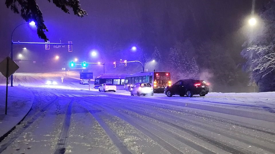
Parts of Metro Vancouver received a overnight on Sunday, March 3 and another frosty event is possible this week.
Places at higher elevations, including the North Shore Mountains, parts of Surrey, and the SFU campus, received several centimetres of snow, while other areas, including areas in Vancouver, Delta, and Coquitlam, received a dusting of the white stuff.
Meteorological spring started on March 1 and many locals were shocked to see what seemed like later-than-usual snowfall. They took to social media to share photos and videos from the wintry scene.
While more snow isn't expected overnight Monday, the region will experience biting cold.
Temperatures will vary across the region but may feel as with the wind chill; Tuesday morning may feel as cold as -9 C.
Metro Vancouver weather forecast includes another chance of flurries
Environment Canada Meteorologist Derek Lee told V.I.A. that an unstable air mass has lingered in the Lower Mainland since last week, allowing for a mixed bag of weather conditions.
These unstable conditions are typically seen later in spring when the region . However, there were bouts of heavy rain, hail, and thunderstorms ahead of the snow event, he explained.
- Related:
There is also another chance for a frosty event this week as the unsettled air remains.
"With low confidence, there is a chance of flurries overnight from Tuesday to Wednesday," he said, adding that there is a greater chance to see flurries over higher terrain.
Temperatures a few degrees below seasonal averages are expected through the week as the unstable atmosphere remains.
On Friday, a warm system moving in off the Pacific will mark a shift to warmer, wetter weather for Metro Vancouver that is expected to continue through at least next Monday.
Stay up-to-date with hyperlocal forecasts across with Weatherhood.

