HALIFAX — Canada’s East Coast is likely to see an active storm season this year because of record high water temperatures in the Atlantic Ocean, say hurricane forecasters.
In a briefing Thursday, Bob Robichaud, meteorologist at the Canadian Hurricane Centre in Halifax, told reporters conditions for an active season are also “lining up” because of cooling surface water temperatures in the Pacific Ocean.
He said climate patterns in the Pacific Ocean are transitioning away from El Niño, which brought above-average water temperatures last year, to La Niña, which typically leads to more storms in the Atlantic.
“Not only are we getting rid of El Niño, but the water temperatures are at record values in the tropical Atlantic right now and that’s why we’re expecting a very active hurricane season this year,” he said.
Robichaud pointed to numbers released Thursday by the National Oceanic and Atmospheric Administration in the United States predicting 17 to 25 named storms with eight to 13 of those becoming hurricanes and four to seven becoming major hurricanes.
“They (NOAA) always try to achieve a 70 per cent confidence in their forecast and this year that’s actually up to 85 per cent … so there’s a very high confidence level that it will be an active season,” Robichaud said.
Typically, about 35 per cent of the storms that form in the Atlantic Basin travel to Canadian waters, although in any given year that average can vary wildly, he said.
Robichaud added that it’s still too early to say how many of the predicted storms could affect communities in Atlantic Canada. The official hurricane season starts June 1 and runs until Nov. 30. “We just can’t say where these storms are going to go at this stage prior to the season, and if any land areas are going to be impacted."
Currently, he said, water temperatures off Canada’s East Coast are a little cooler than average, although that “anomaly” is expected to disappear by the time peak hurricane season arrives in August. Water temperatures elsewhere in the Atlantic are already at levels more typically seen in August.
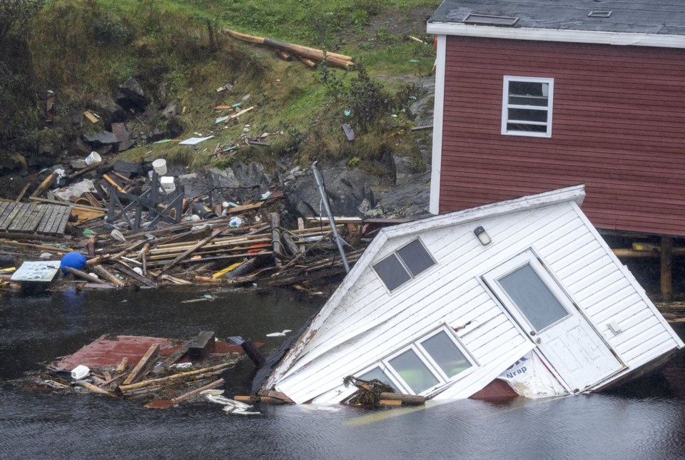
Last year, forecasters called for 12 to 17 named storms, five to nine hurricanes and one to four major hurricanes; in reality, there were 20 named storms, seven hurricanes and three major hurricanes. Five entered Canadian waters with post-tropical storm Lee causing storm surge damage and power outages along the southern coasts of Nova Scotia and New Brunswick.
Nathan Gillett, a research scientist with Environment and Climate Change Canada, said that while conditions resulting from climate change are not expected to affect the frequency of hurricanes and tropical storms they will play a role in increasing the intensity of already strong storms.
“The rainfall associated with hurricanes is also projected to become more intense and sea level rise will exacerbate the impact associated with storm surges, so we do expect climate change to worsen the impacts of hurricanes,” said Gillett.
Meanwhile, Colorado State University — which pioneered hurricane season forecasting decades ago — is predicting a season that's 71 per cent stronger and busier than the average season with 23 named storms and 11 hurricanes. Researchers at the school have given a 62 per cent probability that the U.S. will be hit with a major hurricane with winds of at least 178 kilometres per hour when normally the chance is 43 per cent.
For this season, researches say the Caribbean has a two-out-of-three chance of getting hit by a major hurricane and the U.S. Gulf Coast has a 42 per cent likelihood of getting smacked by such a storm. For the U.S. East Coast the chance of being hit by a major hurricane is 34 per cent.
This report by The Canadian Press was first published May 23, 2024.
— With files from The Associated Press
Keith Doucette, The Canadian Press


