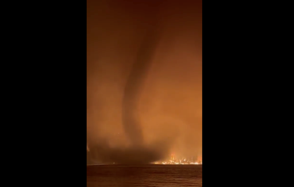
Just when you thought things couldn't get more apocalyptic in B.C., the BC Wildfire Service goes and shares a video like this.
Last week, a cold front passed through the province following several days of hot, dry weather.
— BC Wildfire Service (@BCGovFireInfo)
In case you can't watch the video, it shows a "fire whirl"—otherwise known as a "fire tornado"—that developed on Gun Lake north of Whistler and Pemberton last week.
The "incredibly rare" occurrence was the result of a cold front passing over the blazing Bendor Range Complex near Lillooet, which contains the Downton Lake fire near Gun Lake.
The cold front resulted in "strong winds from the southwest, [which resulted] in significant fire growth and intensity," as well as a "relative humidity value of 14 per cent at 4 a.m., a value that is incredibly rare to see overnight, [and] a reduced dew point (a measure of how much moisture is in the air) of -11C on August 18," the BCWS said .
"This was a significant drop, 20-C lower than the day prior to the cold front. With this combination of conditions and fire behaviour, fire intensity was more extreme during this overnight period, reaching intensities that hadn’t been seen even during the day."
That high fire intensity, combined with strong winds and air mass instability, "resulted in the formation of a fire whirl (otherwise known as a fire tornado) over Gun Lake. Fire whirls are vertically oriented, intensely rotating columns of gas and flame," BCWS said.
"Another important factor in the formation of whirls is adequate vorticity, a measure of the atmosphere’s tendency to spin or rotate. Complex terrain, downslope winds and the passing cold front provided the necessary conditions for the formation of this fire whirl over Gun Lake."
Read more about fire weather .


