Fifty-six years ago, in 1966, the province was a different place.
While the mountains have mostly remained the same, the highways that cross the province have changed substantially.
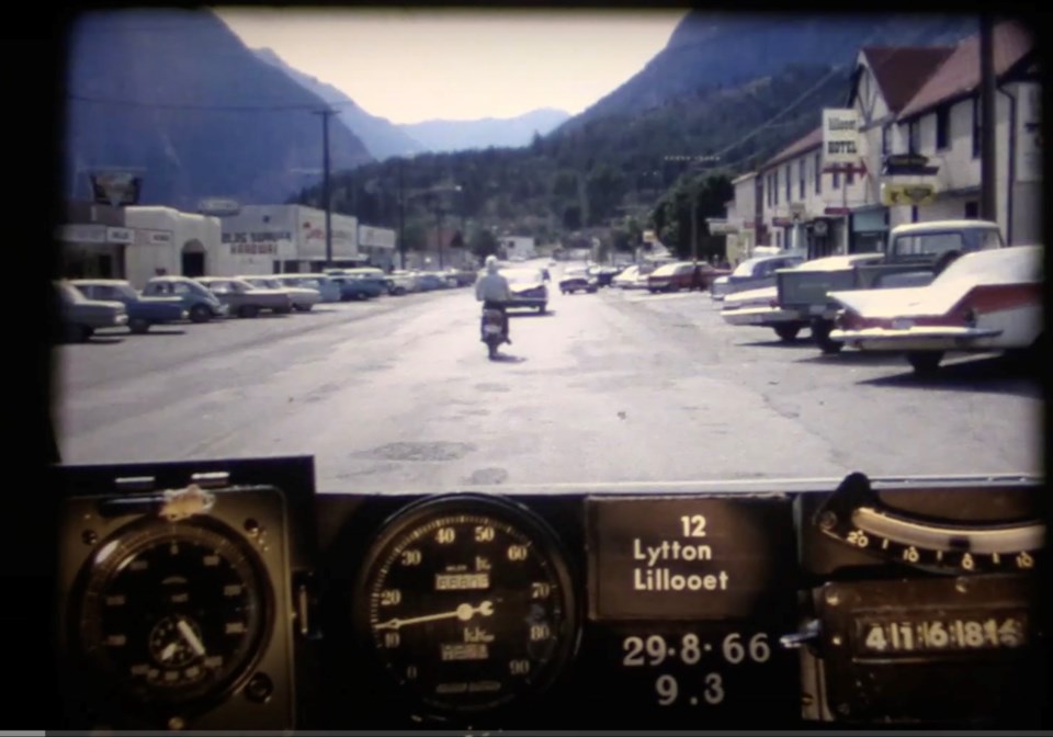
A video released recently on the BC Ministry of Transportation and Infrastructure's (MOTI) shows the drastic changes first-hand, highlighting a road trip on what is now Highway 99 connecting Lillooet to Cache Creek.
In the eight-and-a-half-minute video, a station wagon makes its way through hundreds of kilometres of unpaved gravel road, documenting the state of the highway.
The video comes from the , a project undertaken by MOTI to provide a snapshot of the state of the province's roads in 1966.
According to MOTI, the photo log was made by rigging a camera to the car's dash that took still images every 26 metres, which were then put together as a single film.
In 1966, the road from Lillooet to Cache Creek was still mostly gravel, and was designated as part of Highway 12, which continues to exist today; however, it now only connects Lytton to Lillooet.
Another notable change on the old highway compared to the modern day is that the old road went right through the main street of Lillooet.
The highway crossed the historic one-lane Lillooet suspension bridge that served as the region's main vehicle bridge until the Bridge of the Twenty-Three Camels was completed in 1981.
In the video, Lillooet's old main street can be seen, with all the old gas stations, landmarks and cars from days past.
Since the province took the video, the highway has been upgraded, with many road sections being widened and redesigned. The road was designated as part of Highway 99 after the province paved the Duffey Lake Road in 1992.


