A megathrust earthquake could shatter Metro Vancouver’s capacity to send water to its 21 municipalities, a new report says.
The heavily redacted report, published internally by the regional body in February but recently obtained by Glacier Media, indicates a 9 magnitude earthquake could lead to 267 water main failures across the region.
Some of the most worrying failures, confirmed Metro staff and independent experts, are forecast to occur where all of the region’s main trunk lines pass under bodies of water — from dammed mountain lakes on the North Shore, under the Burrard Inlet, and down the line, below the Fraser River.
“It's one thing for a pipe under the Lougheed Highway to leak. We can go dig that out, we can throw a patch on it, we can be out of there in four hours,” said Lucas Pitts, director of policy, planning and analysis for the Greater Vancouver Water District.
“But for a crossing under the Fraser River, obviously, if that breaks, to fix that takes a very long time.”
Should a major earthquake hit the region, roughly 60 breaks are expected across 71 water crossings, found the study. That includes three to four breaks in category one crossings — like the Fraser River, Pitt River, False Creek and Burrard Inlet — and two failures in shallow rivers like the Coquitlam, Seymour and Brunette rivers.
Twenty-two water mains connecting nearly every corner of the Lower Mainland face “high seismic vulnerability,” according to the report. That includes pipes running through the North Shore, Vancouver, Burnaby, New Westminster, the Tri-Cities, and on to Maple Ridge, Richmond, Delta and Surrey.
The study, commissioned to an external engineering consulting firm, was created through an analysis of 123 reports provided by Metro Vancouver — 41 looking at reservoirs, 21 at pump stations and 61 at pipelines. It also relied on geology maps from the Geological Survey of Canada, Google Earth, traditional terrain and digital elevation maps, and LiDAR data — maps created by bouncing lasers off the ground from aircraft.
Metro Vancouver redacted the total number of leaks and breaks in each water main, as well as the estimated damage to the 21 water storage facilities analyzed in the report.
The redactions were carried out under a section of the Freedom of Information and Protection of Privacy Act that deals with disclosures that could “harm the security of any property or system, including a building, a vehicle, a computer system or a communications system.”
“All I can tell you is that the report was redacted to protect the safety and security of critical infrastructure,” added a spokesperson for Metro Vancouver.
Of the report’s nearly 300 pages, almost two-thirds were blacked out.
John Clague, a geologist and earthquake expert at Simon Fraser University, described the potential damage to water mains, pump stations and the reservoir system as “very large” and the report’s conclusions “rather scary.”
“Clearly, specific information about damage to particular water mains, pumping stations, and reservoirs is not for the public's eyes,” he said. “I would have loved to see the maps.”
First earthquake assessment of its kind in 30 years
This is the first time in three decades the regional authority has assessed the capacity of its water system to withstand a major earthquake.
The last study, conducted in 1993, found that a roughly one-in 500-year event would lead to 31 water main failures and leave the system inoperable.
This time around, the estimated failures are over 8.5 times higher. Projected failures in water crossings alone outstrip the damage that was projected in the 1993 report.
Part of that is due to improved seismic building standards, which have undergone several rewrites as engineers and seismologists learn more about how megathrust earthquakes can impact a city’s built infrastructure.
Pitts, whose department commissioned the report, said he expected it would project heavy damage due to new standards. But when it finally came back, he says the overall picture it painted was “quite substantial” and more than he expected.
“Design standards are… theoretical standards. They're not real-world situations. So you just don't know,” said Pitts. “We can't really make it so everything is going to survive an event like this.
“We have to prioritize.”

What is a megathrust earthquake?
Megathrust earthquakes occur along subduction zones, tectonic faults in the Earth’s crust where relatively heavy oceanic plates slip under a more buoyant continental shelf.
Once an oceanic plate sinks deep enough into Earth’s hot interior, it can melt, feeding a throng of volcanoes around the edge of the Pacific known as the Ring of Fire.
At times, the two tectonic plates can grind against each other. As they slow, pressure builds until one day they slip, releasing vast sums of energy in a single catastrophic moment.
This process is responsible for some of the world’s most violent recorded earthquakes. In recent years, that includes the 8.8 magnitude earthquake that decimated Concepción, Chile, in 2010, and the 9 magnitude T艒hoku earthquake that hit Japan in 2011.
As one of the most documented mega-quakes in history, the undersea T艒hoku earthquake triggered a massive tsunami and high-profile meltdowns at the Fukushima nuclear plant. It’s also the closest case study to the earthquake many experts expect to hit B.C. in the coming years.
North America’s next megathrust earthquake will begin in the Cascadia Subduction Zone (CSZ). That’s where the Juan de Fuca plate is slowly diving under the North American plate along a 1,000-kilometre arc curving off the coast of Vancouver Island south toward northern California.
It will not be a first: at least 19 9 magnitude megathrust earthquakes have occurred along the CSZ since the end of the last ice age.
But for years, scientists thought the B.C., Washington and Oregon coasts were seismically inactive — despite Indigenous stories that told otherwise.
Many Indigenous people from both sides of the B.C.-Washington border tell stories of the battle between the , two supernaturally large creatures.
One story documented on the Northern Olympic peninsula tells of a “shaking, jumping up and trembling of the earth beneath, and a rolling up of the great waters.”
Another told by 84-year-old Huu-ay-aht First Nation Chief Louis Nookmis in 1964, described one community overwhelmed by a massive wave and another built on a hill that “did not drift out to sea with the others.”
“The land shook… a big wave smashed into the beach,” said Nookmis in a translated recording published in the journal Seismological Research Letters.
Clague, who was among 10 researchers who published such Indigenous accounts, has also helped uncover the catastrophic potential of a Cascadia earthquake through Western science. In Japan, researchers pored over 300-year-old tsunami records; in Washington state, others studied ancient marsh deposits; in Clague's case, he looked at how B.C.'s coastlines had been deformed.
By the early 1990s, the evidence had grown to confidently declare a major earthquake last struck the region on Jan. 26, 1700, at 9 p.m. The West Coast was indeed a hotbed for seismic activity.
Today, seismologists estimate such an earthquake returns once every 500 years. By that metric, the Metro Vancouver report cites research suggesting a 9 magnitude earthquake has a 14 per cent chance of hitting the coast over the next 50 years, although others suggest the probability could be as high as 37 per cent.
But that 500-year return period is just an average, warns Clague. Megathrust earthquakes could hit once every thousand years or twice in a century.
What’s certain, says the geologist: the region is due for something big.
How will 'The Big One' impact Metro Vancouver?
It's extremely difficult to predict what will face the most damage when the next major earthquake hits. That’s because much of the damage comes down to where and how deep the epicentre of the earthquake lies.
Towns and cities closest to the Cascadia fault line — ostensibly Vancouver Island communities like Tofino, Victoria and Saanich — will almost certainly be hit hardest.
Once the seismic waves reach Metro Vancouver, their strength will probably weaken, states the report. But because Metro Vancouver has the largest concentration of people and built infrastructure in the province, the damage will almost certainly add up to “one of the biggest events that all of North America and Canada probably has ever seen,” said Pitts.
Strong ground shaking similar to the 2011 T艒hoku earthquake is expected to last three to four minutes.
Damage is expected to hit a region stretching from Vancouver as far south as Portland, provoking a massive mobilization of federal, provincial and state resources.
Borders would likely be closed and B.C.’s highway system would face heavy damage at least on the scale of last year’s atmospheric river event, says Brent Ward, co-director of the Centre for Natural Hazard Studies at Simon Fraser University.
The runways at Vancouver International Airport, meanwhile, would almost certainly be taken out of service, making emergency airlifts difficult in the early hours and days after the earthquake.
From the air, Ward says emergency crews would likely see a city punctuated by fire, most triggered by ruptured gas lines. Large pieces of older buildings are expected to fall into the street or collapse entirely.
Some taller, older buildings not built to standard would face accelerating cyclic shaking, creating a harmonic effect where the top part of the building moves faster than the bottom.
“One that isn't properly designed will tear itself apart,” said Clague.

mikespics/iStock/Getty Images Plus/Getty Images
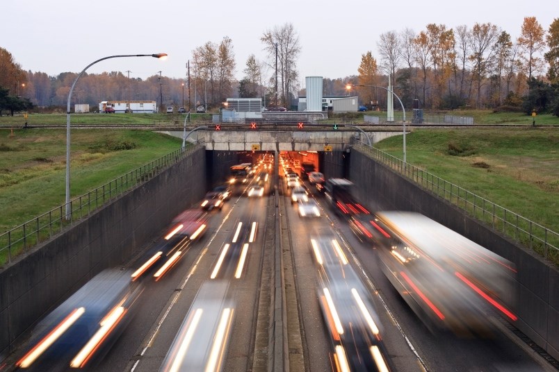
On the North Shore and along river escarpments across the region, mud and landslides would likely scar the hillsides. And if you were caught among older infrastructure, in the Massey Tunnel or on the Patullo Bridge, there’s a good chance you wouldn’t survive, says Ward.
“That kind of shaking makes it actually hard to drive a car… you can actually see waves moving along the land service,” he said. “You wouldn't be able to walk, you'd be lying on the ground.”
Because Ward expects to be on his own for several days, he has food stocked and keeps water filtration devices on hand.
“I can go to the nearby lake or pond, or capture from my downspouts the water in the yard,” he said. “We've got tons of food in the fridge and freezer, and of course, you wouldn't have any power, so you'd be eating the stuff that was going bad as quickly as possible.”
For people in higher-density living, in condos or rental apartments, Ward says he is not sure where they are going to go after an earthquake.
“The idea is people would go to schools, hang out there if they have to. We're upgrading the schools but some of them may not survive the earthquake,” he said. Some of the older ones, especially those ones with the cinder block construction, again, really crappy in an earthquake.”
The worst damage from a tsunami is expected on the west coast of Vancouver Island. In Metro Vancouver, Ward says a smaller tsunami could push the sea another metre or two higher.
A bigger concern, he says, are some of the levees along the Fraser River failing due to a process known as “liquefaction.”
“Some of those areas are already below sea level,” he said. “There would be flooding for sure.”
'Liquefaction' identified as major source of damage
It’s not the shaking that’s expected to lead major sections of Metro Vancouver’s water transmission system to fail.
According to the report, about 30 per cent of the region’s water mains — or 140 km out of 498 kilometres of pipes — are in areas at severe risk to landslides and liquefying soils.
The ground at your feet might appear solid, but when an earthquake hits, it can quickly melt from under you.
Liquefaction begins to transform the landscape with the arrival of the first seismic waves. Underground, shaking forces water up through the soil, sand and stones, instantly turning once solid terrain into something approaching a “soup or stew,” said Pitts. Anything that ground once supported gives way, sinking into the morass.
It’s a phenomenon geotechnical experts say threatens places like Richmond, B.C., most, where low-lying river sediments have built up over thousands of years, and where humans have dumped fill to reclaim land and prevent flooding. All of that primes the region’s dry land to return to the river and sea.
In response, building codes require new construction projects to drive piles deep into the ground to anchor them below what’s known as the liquefaction zone. But that’s harder to do with pipe infrastructure that runs over long stretches of land as it's heaving up and down.
“In San Francisco, in the low-lying areas where they had all the fires, where all the gas lines broke, was all areas of fill,” said Pitts, referring to a 6.9 magnitude quake that hit the city in 1989.
Liquefaction also puts at risk Metro’s pump stations — designed to move drinking water throughout the region — and the region’s 26 reservoirs, mostly underground water storage facilities reinforced with concrete and steel.

In both cases, the most serious damage is expected to occur at inlet and outlet pipes, where rigid connections could lead pipes to snap off. If they fail, the reservoir or pump stations will likely be made inoperable, noted the report.
“Those are the weak points in the facility systems,” said Pitts.
The time it would take to fix damage to Metro’s pump stations, reservoirs and water treatment plants ranges from less than a day up to 155 days for heavily damaged reservoirs, estimates the report.
Metro Vancouver staff redacted parts of the report detailing how a major earthquake would damage individual facilities.
“I would fear that we might have this interruption of these critical services for quite long periods of time,” said Clague after reviewing the redacted document. “Maybe a certain amount of that is inevitable, but you've got to have a plan B in a situation like that. Where's your water gonna come from?”
The presumption, he added, is that Metro Vancouver should always expand its water services from the mountain sources on the North Shore. It’s a path Clague says was chosen long before Surrey became a “megopolis.”
“Nobody seems to be talking about how could we use groundwater. There are aquifers in the Langley-Surrey area. They've never been exploited,” he said.
The dams holding back lakes in the Coquitlam, Seymour and Capilano watersheds — Metro Vancouver’s three main water sources — were not part of the study.
Pitts said authorities independent from Metro Vancouver are currently updating seismic assessments of the Cleveland and Seymour Falls dams.
First step in planning post 'Big One'
For decades, multiple B.C. governments have honed in on seismically upgrading structures like bridges and schools — and for good reason, says Ward.
“Those are things that can kill people, right? And so those got the highest priority,” he said. “Now, we're looking at what happens after the earthquake.”
As the latest report lays out, “water is going to be an issue.”
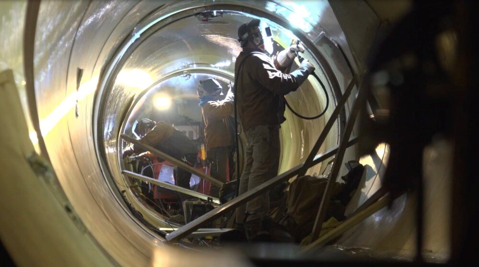
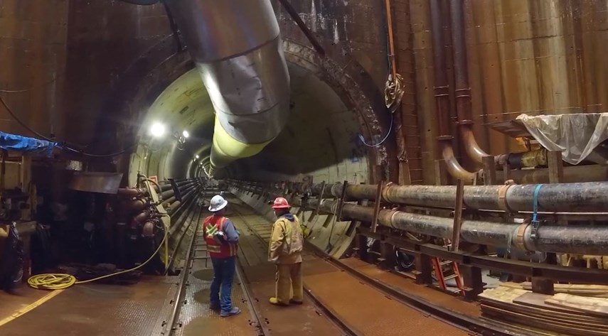
Metro has made some headway upgrading its water system — water mains passing underneath five major river crossings and two locations under the Burrard Inlet are either under construction or in the design stage. Such projects, however, are “very complicated and the design process itself takes many years before construction can begin,” warns Pitts.
Metro Vancouver still doesn't have a plan to get water to residents after a major earthquake, said Pitts, though the latest seismic study is the first step to put all those plans together.
“It’d be great to just make everything completely resistant to a huge seismic event. But that would cost literally billions upon billions of dollars. And nobody really wants to pay that. And so, the cities struggle with the exact same thing,” said Pitts.
Instead of hardening an entire region, Metro's 21 cities, one electoral district and one First Nation have focused on critical infrastructure, like hospitals or communities that will double as emergency shelters in a disaster.
What happens after the shaking stops and the waves recede is harder to plan for.
After a major earthquake, nobody is expecting to be able to turn on their taps, says Pitts. But where people will go to collect water is a question that still needs to be answered.
All the more reason, experts say, for individual households to build their own emergency water and food supply, and create a plan in the event ‘the big one’ hits. It’s the kind of planning taking part across 10 coastal B.C. communities over the next week as people practice walking to high ground in the event of a tsunami.
We don’t know when the next megathrust earthquake will hit, but with every passing day, the risk grows greater.
For Ward, that risk means such post-disaster reports should have been completed a decade ago. At the same time, he, like all the experts interviewed for this story, acknowledged planning for a megathrust earthquake is a process of infrastructure triage, one that faces competition from a number of expensive spending priorities.
In addition to conducting long-range planning to prevent the worst impacts of a major earthquake, Pitts says his department is also preparing for cyberattacks on the region’s water supply, while at the same time planning for fallout from wildfire and drought, all made worse by climate change.
As Clague put it, “This is something you cannot correct overnight.”
“But you got to start somewhere.”


