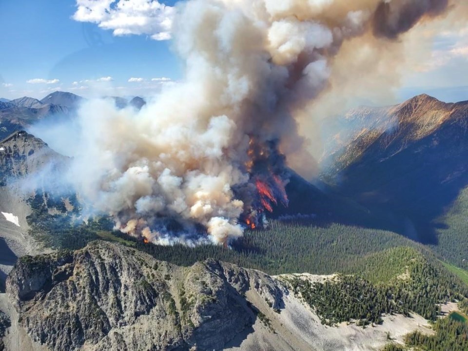
The number of wildfires in British Columbia continues to rise amid persistent drought, and federal aid — including military resources — is on the way.
Bowinn Ma, B.C.'s minister of emergency management and climate readiness, says federal personnel will work alongside about 2,000 crew members with the BC Wildfire Service as they fight about 370 blazes burning throughout the province.
Canada's minister of emergency preparedness, Bill Blair, announced the assistance on Friday after his counterpart in B.C. made the request.
The number of highly visible, threatening or potentially damaging "wildfires of note" has ticked up to 20 from 17 on Friday.
Maps from the BC Wildfire Service and Emergency Management BC show around 70 wildfire-related evacuation alerts and orders on Saturday.
A wildfire burning about 50 kilometres north of Bella Coola prompted an evacuation order Friday that covers several recreational properties along a 20-kilometre stretch of the Dean River as it runs through the Central Coast Regional District.
Curtis Slingerland, the chief administrative officer for the district, says the fire is burning in a remote area and the district is in close contact with the wildfire service.
Slingerland says he drove from Bella Coola to Salmon Arm on Friday and the skies were smoky for nearly the whole 840-kilometre route, starting at "the hill," a steep stretch of Highway 20 connecting Bella Coola with the rest of the province.
"The smoke really kicked in at the top of the hill ... and then it continued all the way into the Shuswap," a region in B.C.'s southern Interior, Slingerland says.
A special air quality statement from Environment Canada warns of smoky skies spanning much of eastern B.C. from the Yukon boundary to the Kootenays.
The Regional District of Bulkley-Nechako issued two evacuation orders Saturday covering properties on the northeast shore of Elwin Lake, east of Houston, as well as properties west of Wisteria Mainline Road near Horseshoe and Fish Lakes.
The Cariboo Regional District meanwhile upgraded an evacuation alert to an order Friday afternoon. The order covers 135 parcels of land across nearly 3,340 square kilometres in the Lhoosk'uz area, west of Quesnel.
B.C.'s drought bulletin shows nearly the whole province is experiencing drought conditions of at least Level 3 of five, with the Fort Nelson basin in the northeast, the Bulkley basin and all of Vancouver Island classified at the most severe level.
While wildfire activity was largely concentrated in northeastern B.C. earlier this season, most blazes of note are now clustered in the Bulkley-Nechako and Cariboo regions of the central Interior, between Prince George and Terrace.
An update from the BC Wildfire Service posted Thursday shows fires have scorched nearly 12,300 square kilometres of forested lands so far this season, eclipsing the 10-year average of about 760 for the same time of year.
This report by The Canadian Press was first published July 15, 2023.
The Canadian Press


